02 · 2025 – 2026ArchitectureAI
Chokdi Gangapol & QGIS-MCP
Walled City Urban Analysis + 118-Tool Geospatial AI Bridge
Role & Context
Urban Designer & GIS Pipeline Developer
Academic Studio (Sem VII) + Python Geospatial Pipeline
Study Radius
600m · Chokdi Gangapol, Jaipur
MCP Surface Area
118 PyQGIS Tools
Data Integrity Rule
Zero Guessed Counts (UNASSESSED)
Capacity Baseline
1,800 PCU / Hr / 3.5m Lane
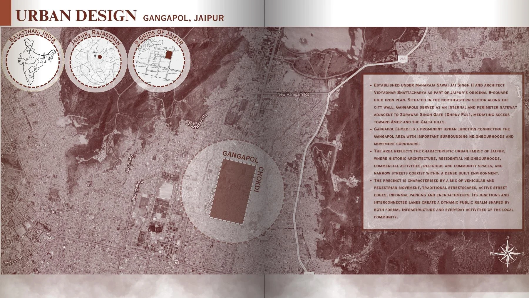
Walled City Urban Design Plates · Chokdi Gangapol & Jaipur Heritage
Open Full Spreads in Portfolio Book →100%
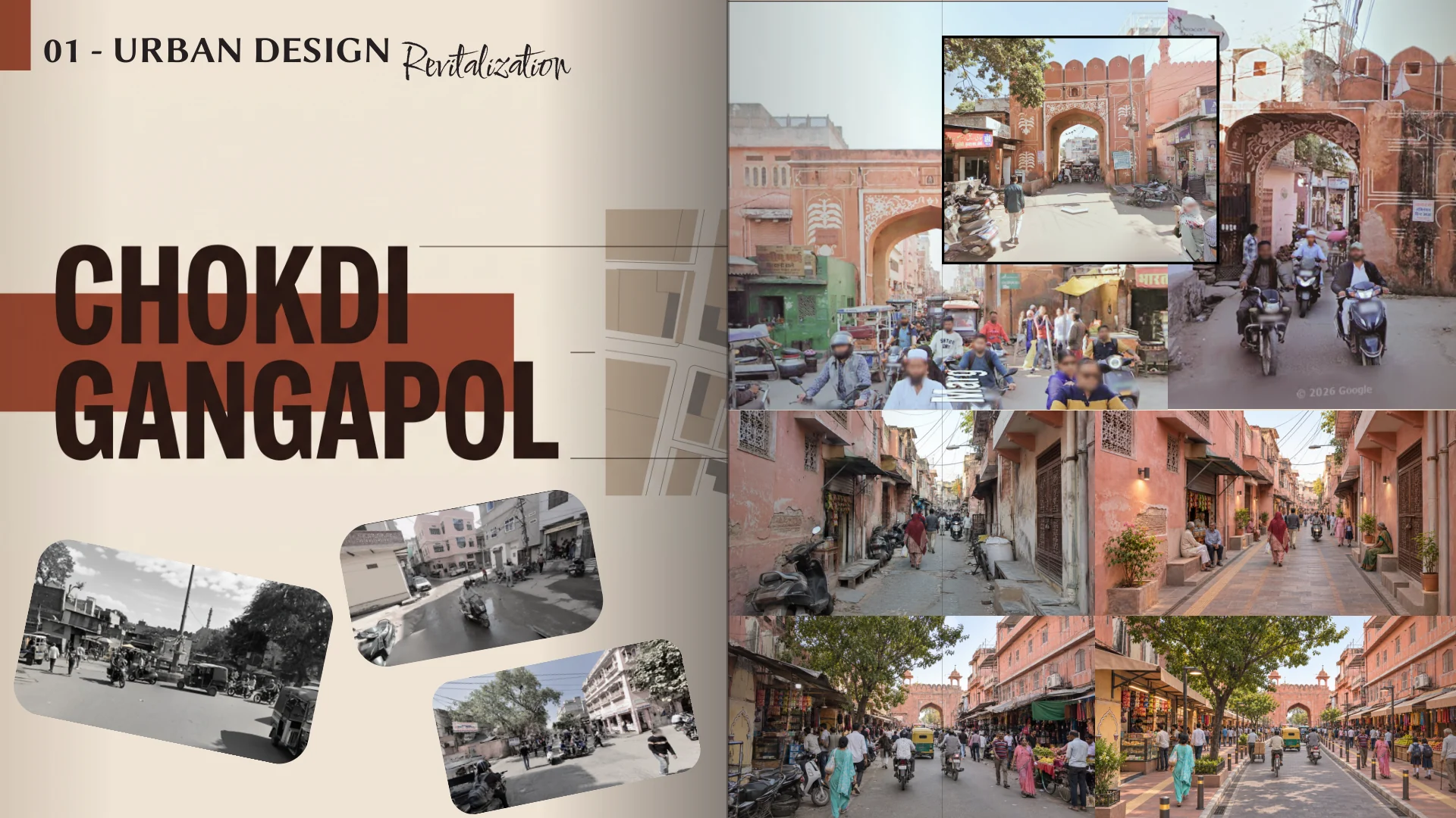
Spread 13 · Sem VII Urban Design Revitalization StudyClick + to inspect room dimensions & schedules
Problem & Engineering Context
Historic precinct studies often mix subjective sketching with incomplete traffic counts. This workflow separates observed field survey rows from unassessed corridors while exposing 118 QGIS operations to coding agents via FastMCP.
Architecture & Key Implementation Details
- Directed OSM street-segment extraction within a 600m radius of Chokdi Gangapol (26.931413, 75.834618), filtering stubs under 15m and preserving missing counts as UNASSESSED rather than guessing.
- IRC-style effective lane rule computing V/C congestion bands (LOW < 0.60, MODERATE 0.60–0.85, HIGH > 0.85) only when observed carriageway widths and volumes exist.
- QGIS-MCP socket server and FastMCP bridge automating layer styling, spatial queries, and cartographic outputs.
Key Deliverables
- Walled City Urban Design Spread & Figure-Ground Plates
- Directed OSMnx Network & V/C Traffic Survey Pipeline
- 118-Tool QGIS-MCP Server & Plugin Integration
Tools & Stack
AutoCADQGISOSMnxPythonFastMCPOpenStreetMap